Map: Storytelling and Power. | 1.2

MA GCD Process Blog 03 |Iteration 02
Week 04
On another iteration, I challenge the notion of the map as an institution which bears the capacity to become a witness of powers, settled by the colonist as a part of their identity. The string of newly independent states formed after World War II, such as Indonesia, revived the national atlas as a symbol of nationhood. In the service of the state, maps and atlases play dual roles as former colonies turned to cartography as a tool of both economic development and political identity.
It could be said that the Mercatorian map, which brought in by the European colonisers via print, was beginning to shape the imagination of Southeast Asians, including Indonesia (Anderson, 1983, p. 247) Regarding most communication theories anti-common sense, a map is a scientific abstraction of reality. A map merely represents something which already exists objectively “there”. To provide a profound understanding of Map and its influence on the construction of national identity, I realised that the study of cartography is one of the best ways to explain it.
While cartography has the ability to promoted scientific objectivity over artistic representation and vice versa, the scientific objectivity did not always go the actual representation, a metaphor involved in this work, such map does not always mean the territory. Like any other tools that generate knowledge, maps are informative, but they also can be deceptive, even threatening. At one time or another, it probably safe to say that all of us have misled by a map designed to hide something the mapmaker did not want us to know, or drawn in such a way that we jump to false conclusions from it.
The map can produce their language and narratives. Huffman and Matthews (2014) endorse that, “Cartographers have always been storytellers. This metaphor works well for thematic maps, but topographic or reference maps also tell stories: of the landscape, of the settlement, and of the shape of the natural and human-modified world that surrounds us… Cartographers take data and wrestle it before applying some graphical treatment that provides the narrative. They codify the story in a visual language that they hope speaks to people.”
H. J. de Blij (1996, p. xi-xii) points out that Map crosses the line between information and advocacy. In which later he added that in the world of changing political and strategic relationships and devolving nation-sites, maps become propaganda tools. Some national government even go so far as to commit cartographic aggression, mapping parts of neighbouring countries as their own. Turkish Cypriots, Sri Lankan Tamils, Crimean Russians publish maps that proclaim their political aspirations, fuelling nationalism that spell disaster for the state system.
Get Fajrur Rahmat’s stories in your inbox
Join Medium for free to get updates from this writer.
People trust maps, and intriguing maps attract the eye as well as connote authority. The map is a perfect symbol of the state and an intellectual weapon–in disputes over territory. Naïve citizens willingly accept as a truth map based on a biased and sometimes crooked selection of facts.


On another iteration, I challenge the notion of the map as an institution which bears the capacity to become a witness of powers, settled by the colonist as a part of their identity. The string of newly independent states formed after World War II, such as Indonesia, revived the national atlas as a symbol of nationhood. In the service of the state, maps and atlases play dual roles as former colonies turned to cartography as a device of both economic development and political identity. It could be said that the Mercatorian map, which brought in by the European colonisers via print, was beginning to shape the imagination of Southeast Asians, including Indonesia (Anderson, 1983, p. 247). While a map is a scientific abstraction of reality, a map merely represents something which already exists objectively “there”.
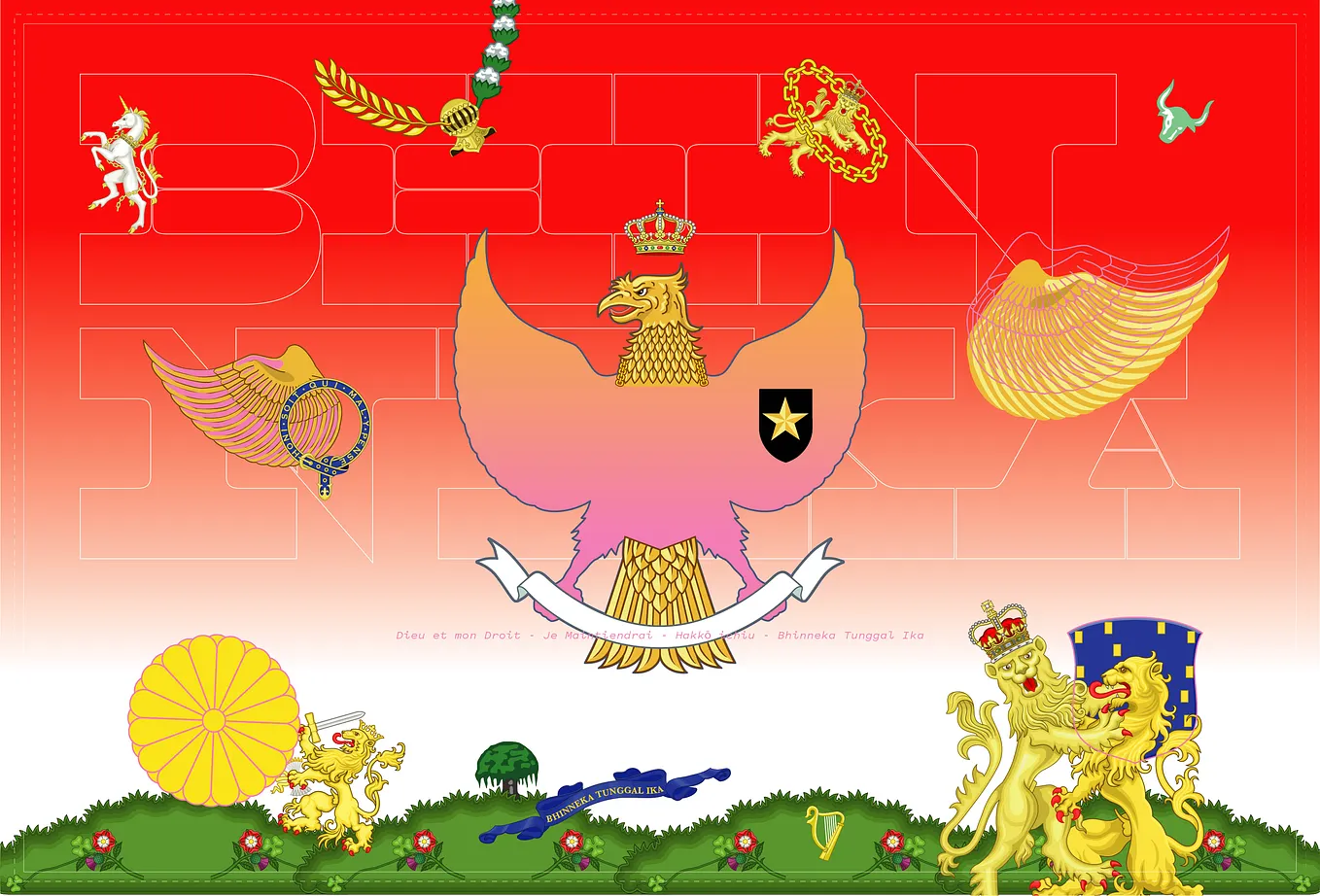
The map can produce their language and narratives. Huffman and Matthews (2014) endorse that Cartographers have always been storytellers. This metaphor works well for thematic maps, but topographic or reference maps also tell stories: of the landscape, of the settlement, and of the shape of the natural and human-modified world that surrounds us. While map in the previous point bears the capacity to become a witness of powers, the map also can produce their language and provide narratives. My experiment is one form of exercise as a propagandist who wants to shape opinion by manipulating maps. Provoking the possibilities of last long occupation on the colonised state could generate different narrative on the maps. While experimenting on this work, I imagine; had East Indies (Indonesia) become part of the Dutch, then Amsterdam was relocated to the mountainous area of Northern Sumatra, would they still have the popular bike culture?
While the Dutch and Indonesia have a geographical distance and differences, it is possible that the two countries are developing new hybridisation, which already happened during the decades of occupation. To sum up, the experiment what could learn is; What could be seen and think beyond the map, through the narratives of the map.