Geomapping


I started out Geomapping as a crime analyst. I fell in love with the capabilities of mapping programmes and have stayed with it throughout the advancement of associated software. I still find myself struggling to chose the right combination, but I encourage anyone with an interest in Geomapping to start experimenting and don’t get put off by too much research.
To get started in geomapping, you will need to use a software or tool that allows you to visualize and manipulate geographic data.
This could be Tableau, ArcGIS, MapInfo (many others exist) or, if you prefer you can use coding languages including Python. You will need to research the libraries you need, however GeoPandas is a great place to start.
Your interests might be different, here are some examples:
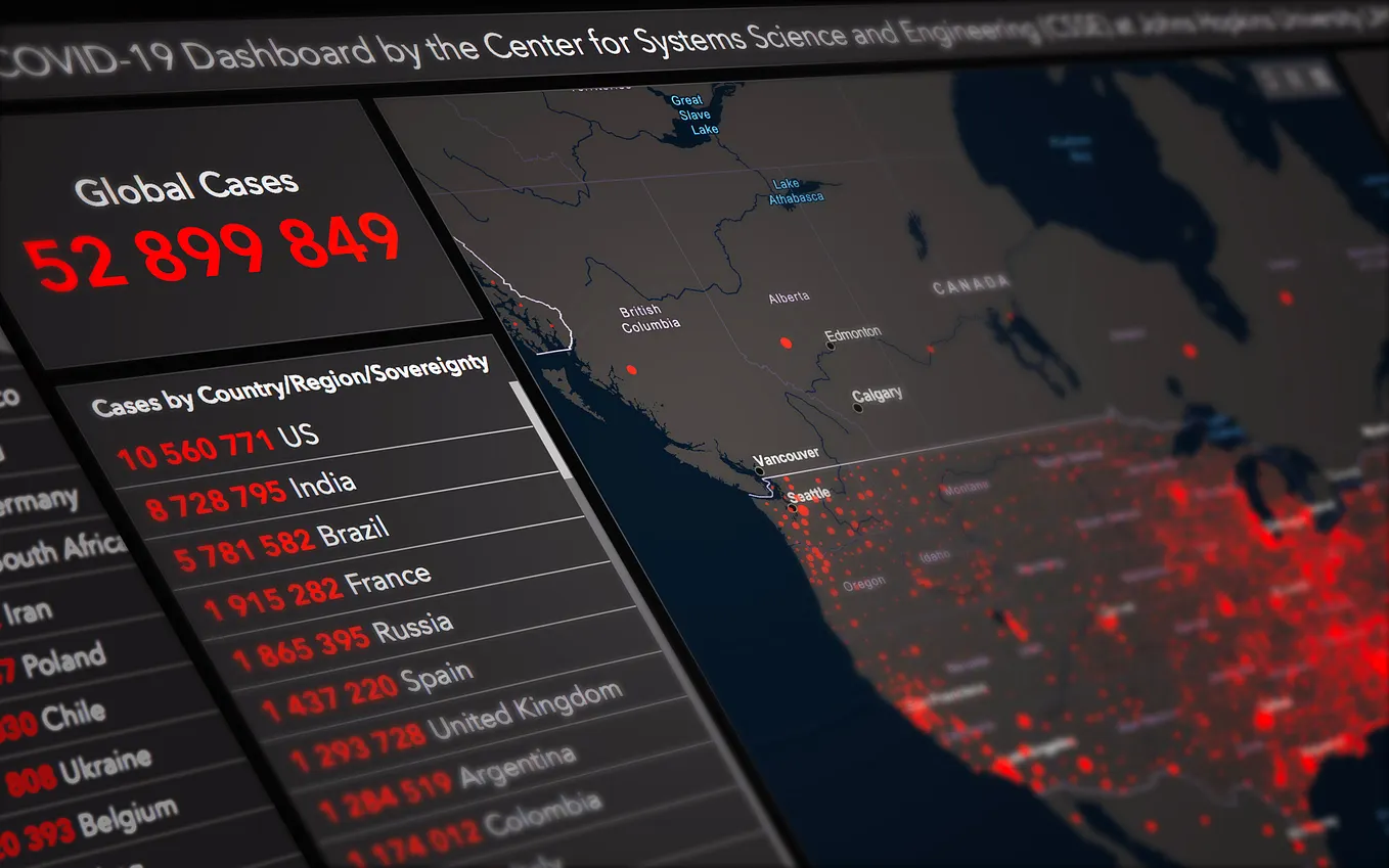
- Visualizing spatial data: One of the main reasons people create geomaps is to visualize data that has a spatial component, such as the locations of businesses, the distribution of population. By mapping this data, it becomes easier to identify patterns and relationships that might not be immediately obvious when looking at raw data in a table.
- Analyzing spatial patterns: By mapping data, analysts and researchers can identify patterns in the data that are not apparent when looking at the data in a spreadsheet or table. For example, by mapping crime data, analysts can identify areas of a city that have a high crime rate, which can inform decisions about where to allocate police resources.
- Communicating information: Geomaps can be used to communicate information to a wide range of audiences. For example, a map of population density might be used by a city planner to communicate the need for more housing in a particular area. An interactive map showing the location of public transportation might be used to communicate this information to the public.
- Supporting decision-making: Geomaps can be used to support decision-making by providing a visual representation of information that is easy to understand. This can be especially useful in fields such as urban planning, transportation, and emergency management, where decisions are often based on spatial data.
- Property: Map of available properties with filters like type, size, location and price can be useful to agents and their clients to visualise the available options in an area.
- Surveying: Geomapping with tools such as GIS software can be utilised by surveyors to create accurate maps of land and property lines.
You might just want to plot local pubs ready for a pub crawl, and there are many cleaver things that Google Map data can do to support this.
Get ATKims’s stories in your inbox
Join Medium for free to get updates from this writer.
Here are the general steps you can follow to create a map:
- Collect and prepare your data: Gather the geographic data you want to map, such as points, lines, or polygons. This data should be in a format that is compatible with your mapping software, such as a shapefile or a geoJSON file. Make sure to clean and organize your data before proceeding. At this point, also consider what you want to display to your user, this will influence the data input (For example, for a hotspot map you will need point data).
- Choose a base map: Next, select a base map that will serve as the background for your geomap. You can use a pre-existing map provided by the mapping software or create your own custom base map using satellite imagery or other data sources.
- Add your data to the map: Use the mapping software to import and layer your geographic data on top of the base map. You can customize the appearance of your data by choosing different symbols, colors, and labels to represent the different features in your data.
- Annotate the map: Add additional information to your map by including annotations such as map scales, legends, and title blocks.
- Save and share your map: Save your map as an image file or export it to a format that can be shared with others, such as a PDF or an interactive web map.
Tableau, PowerBI and ArcGIS are great ways to share interactive maps. Tableau is particularly useful if you are sharing across organisations. There are various libraries that will allow you to move Python maps into these tools, for example Kepler.
Follow future articles for ‘how to’ information in data cleansing, presentation and publication.
Remember to engage with potential users throughout the development process for the best outcome.