Buying a Home in Florida? Don’t Overlook Flood Risk
Flooding is Florida’s most overlooked home-buying risk. Here are five steps I use to verify a property’s real exposure and its long-term safety.

Not a Medium member? You can read Buying a Home in Florida? for free on my site.
I also publish all my articles at alanworldview.com.

Buying a Florida home can be exciting — but flood risk is often overlooked. Hurricanes, heavy rains, and rising seas make it crucial to know a property’s floodplain status before you buy.
In this guide, I will walk you through five key steps to assess flood risk, engage local experts, and build long-term resilience.
Understanding Florida’s Unique Flood Vulnerability
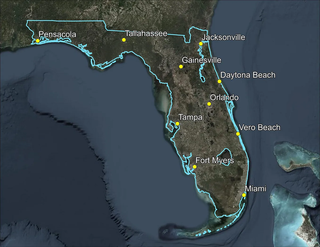
Florida’s low elevation and extensive coastline make it one of the most flood-prone states in the U.S. The National Oceanic and Atmospheric Administration (NOAA) projects a 10–12 inch sea level rise along Florida’s coasts by 2050 (NOAA Sea Level Rise Report). Colorado State University’s April 2025 forecast estimates a 22% chance of a major hurricane (Category 3–5) hitting Florida’s east coast and a 28% chance for the Gulf Coast (CSU Hurricane Forecast).

I think of a floodplain like a bathtub — once it fills, the water spills into places that look safe. FEMA maps help, but they’re not a promise of safety. They rely on the best data at the time, yet they can miss new development, stronger storms, or climate shifts. In a fast-growing state like Florida, those risks change quickly, so I always double-check conditions with local officials before making a decision.
Step 1: Use FEMA Flood Maps as a Starting Point, Not the Final Word
FEMA’s Flood Insurance Rate Maps (FIRMs) show a property’s flood risk:
- Access Maps: Visit FEMA’s Flood Map Service Center and enter the property’s address.

- Look up your flood zone: If your property is in a high-risk area (Zones A, AE, AH, AO, V, or VE), you face what is known as a “1% annual chance flood” — formerly called the “100-year flood.”
Over a 30-year mortgage, that’s roughly a 26% chance of flooding — or 1 in 4 odds. (FEMA Flood Risk).

Beware of Unmapped or Incomplete Zones
A “Zone X” or “Undetermined Risk” label on a FEMA map doesn’t mean “safe.” It often means “not yet studied.” In Florida, many areas — especially inland or rural ones — rely on outdated models or have no model at all.
These maps also miss the full picture: poor drainage, runoff from new construction, and sea level rise. Always ask your local floodplain manager: Is there a Base Flood Elevation here? Are new studies planned? What’s the local flooding history?
That painful lesson reveals the core truth I explore in depth elsewhere: a map is a snapshot of the past, not a guarantee for the future. (You can read my analysis of this systemic issue in Why Do We Still Build in the Floodplain?)
Get Alan Booker’s stories in your inbox
Join Medium for free to get updates from this writer.
Never trust a blank map. It means you must look harder. Visit after rain. Talk to neighbors. Find the local experts. Let your research fill in the gaps.
Step 2: Go Beyond the Map with On-the-Ground Investigation
I never rely on maps alone — some of the best flood clues show up only on the ground or through local knowledge.
- Visit the property, ideally during or after rain. Watch for pooling water, poor drainage, or low-lying features.
- Talk to Neighbors about past flooding, water marks, or drainage problems. Local insights often reveal risks not on maps.
- Request Seller Disclosures. Florida law requires sellers to report known flood issues (Florida Realtors Disclosure). Demand records of past floods or repairs.
- Obtain an Elevation Certificate. It shows how the building’s lowest floor compares to the Base Flood Elevation (BFE). Homes built above the BFE face less risk and lower insurance premiums
Step 3: Consult Your Local Floodplain Administrator (Your Secret Weapon)
Nearly every Florida community in the NFIP has a designated floodplain administrator:
- Role: The Floodplain Administrator is the local official who enforces floodplain regulations, reviews development proposals, ensures compliance with FEMA and NFIP standards, maintains records, and guides the public on flood risks and mitigation.
- How to Find Them: Contact your city or county building, planning, or engineering department. Many local governments offer online flood information resources or hotlines.
- What to Ask: Inquire about flood zone changes, local flood history, or construction requirements.
Step 4: Demystify Flood Insurance Costs and Requirements
Floods aren’t covered by standard homeowners’ insurance. In high-risk zones, lenders require NFIP coverage:
- Standard homeowners’ insurance does not cover flood damage. If your property is in a high-risk flood zone and you have a federally backed mortgage, your lender will require flood insurance through the National Flood Insurance Program (NFIP).
- Premium Costs: Flood insurance premiums in Florida are determined by several factors, including your property’s location, elevation, construction details, and other risk characteristics. Use FEMA’s Cost Estimator.
- Risk Rating 2.0: Since 2021, FEMA’s Risk Rating 2.0 system sets premiums based on the specific risk profile of each property, rather than just flood zones and elevation. This means rates are more individualized. You can obtain quotes through the NFIP or from private flood insurance providers.
- Low-Risk Zones: Even if your property is in a moderate- or low-risk area (such as Zone X), flood insurance is still recommended. Flooding can happen anywhere, and over 32% of flood insurance claims come from outside high-risk zones.
Step 5: Future-Proof Your Investment Against Climate Change
Florida’s flood risks are rising as the climate warms and development spreads. When natural land is replaced by pavement, the ground can’t absorb water the way it used to, and runoff increases. Sea-level rise adds even more pressure. Florida’s long, low coastline means that even small increases can bring more coastal flooding, stronger storm surge, and saltwater pushing into groundwater. I use tools like NOAA’s Sea Level Rise Viewer to understand future conditions, but I remind myself that maps are only snapshots — major storms or new development can shift the picture quickly.
Rapid growth changes risk in other ways too. As cities expand, areas that once soaked up rainwater are now covered by homes, roads, and parking lots. Places that look low-risk today may not stay that way. That’s why I look beyond the current flood maps. They’re updated slowly, and conditions on the ground move much faster. When I’m evaluating a property or insurance options, I consider where the risk is headed — not just where it is now.
Conclusion
Protecting your Florida dream home starts with respecting the water. Use the maps as a guide, but trust your own eyes and the wisdom of local experts. Talk to neighbors. Visit after rain. Consult your floodplain manager.
Remember, a “1%-annual-chance” flood means a 26% chance over your 30-year mortgage. In a changing state, that risk is moving faster than the maps. Your diligence is the best insurance.
Disclaimer: The views expressed here are solely my own and do not reflect those of any public agency, employer, or affiliated organization. It empowers readers with objective geographic and planning insights to encourage informed discussion on global and regional issues.