Mountains, Water, and the Model of a Place


The point is not to make a prettier mountain
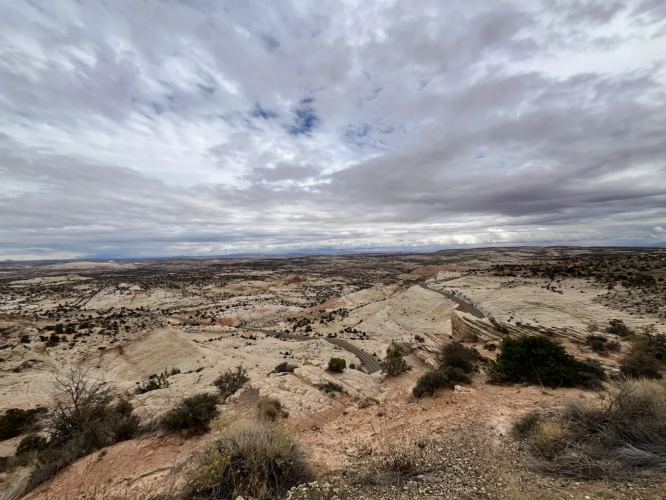
A scenic landscape can look finished in a photograph long before it has been understood. I can see a reservoir, a ridge, a lodge, and a line of trees and feel that I know the place. But when I try to rebuild it in 3D, the questions become more practical. Where does the shoreline move? Which slope is safe for a path? How does the lodge meet the road? What happens to the wet meadow after rain?
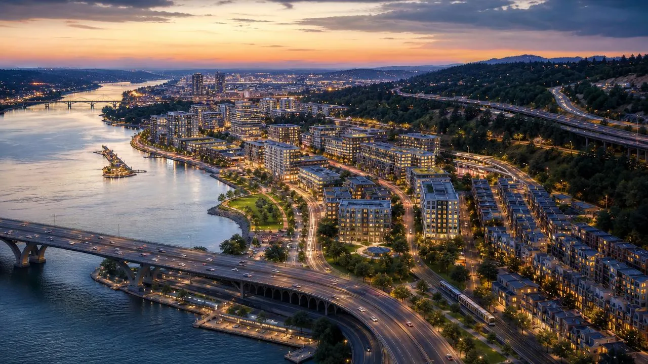
Those questions are why I find mountain and water reconstruction useful. It gives the place enough shape that I can stop treating the view as one flat image. The mountain becomes a set of grades, ridges, cuts, and drainage paths. The water becomes a shoreline, a depth edge, a seasonal level, and a connection to the land around it.
I rebuild the relationships before the objects
I usually begin with the biggest relationships: the basin and the lake, the road and the slope, the visitor center and the shore, the bridge and the stream. Buildings matter, but I try not to make them the first thing I solve. A building that looks right but sits above the wrong grade is not a convincing part of the landscape.
The same is true of water. A bright blue surface can hide a bad model. I want to see where the shallow shelf is, where runoff arrives, how a dock meets the bank, and what happens at a low point near a parking area. These are not technical extras. They are what make the place feel coherent when I move through it at ground level.

The shoreline gives the model a sense of season
At an alpine lake, the shoreline is not a thin line. It is a zone. It may hold a beach, rock, planting, a boat ramp, a wet edge, or a retaining structure. It may be visible in one season and partly underwater in another. When I reconstruct that zone with terrain and water together, I can see whether the path, building entrance, and gathering area have a believable relationship to the lake.
Get Generate Build’s stories in your inbox
Join Medium for free to get updates from this writer.
This is where the model becomes more than a planning aid. It helps explain why a small location feels calm, crowded, exposed, or fragile. The visitor center may need to sit back from the shore. A dock may need more depth. A quiet wet edge may need to remain out of the main circulation route. The 3D setting makes those choices easier to discuss without relying on vague language.
Wetlands slow me down in a good way
Wetlands are easy to flatten in a quick visualization. In reality, they have small channels, pools, vegetation changes, soft ground, and a close relationship to the hills around them. A boardwalk is not just a line across a green area. It needs a route, supports, access points, and a reason to avoid certain areas.
When I build a wetland reconstruction, I try to keep the water, meadow, slope, and built access in the same scene. That makes it harder to pretend that a new pavilion or path has no consequences. It also reveals opportunities: a small bridge can create a better route, a raised path can protect a sensitive edge, and a building can frame the landscape without occupying it.

I leave room for uncertainty
A reconstructed mountain landscape will always contain some estimates. Tree cover changes. Water conditions change. Aerial imagery can miss a retaining wall, a culvert, or a small change in grade. I do not see that as a reason to avoid the model. I see it as a reason to separate what is measured from what is inferred.
The model is most useful when it helps me identify the next question. If an overlook seems too close to a steep break, I know where to survey. If a road appears to cross a wet area, I know where to check drainage. The reconstruction earns its value by making uncertainty visible, not by pretending to erase it.
A light use of Shapezo
At the earliest stage, Shapezo offers a quick map-based way to frame a place. I select a mountain, lake edge, or valley area on a map, and AI generates a rough model of the selected setting. It can help me see the broad relationship between water, terrain, roads, and potential visitor facilities.
I would not mistake that first scene for a detailed environmental model. I use it to decide where the more careful reconstruction should begin. It brings the wider landscape into view early, which is useful when I am still deciding what the scenic area actually needs.