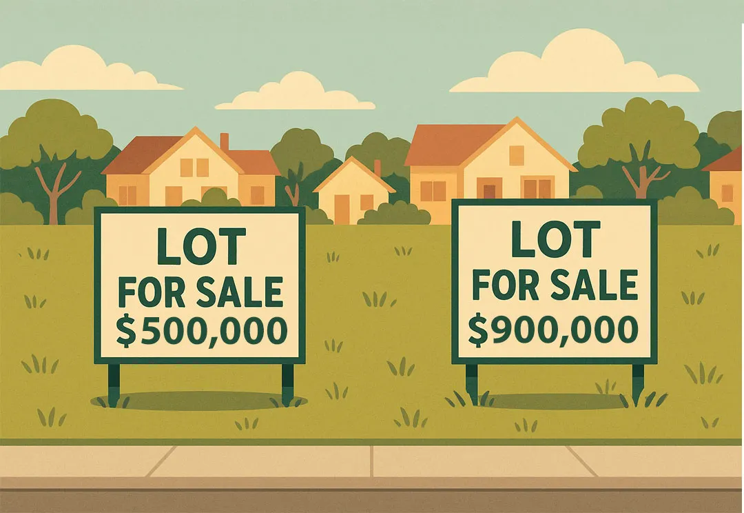
Why Your Neighbor Could Build an ADU and You Can’t


You just watched your neighbor complete a detached accessory dwelling unit on their property. It went smoothly, and now you’re ready to do the same. Your lot is the same size, it’s on the same street, and it’s in the same zoning district. On the surface, your project should be just as straightforward.
But as soon as you start moving forward, the process takes a turn. Your plans stall. Costs increase. Unexpected restrictions appear during design. What seemed like a simple path quickly becomes uncertain.
This experience is more common than most people realize. Two lots can look identical on paper and still produce very different development outcomes. Factors like slope, utility placement, access, and local interpretation of building code can make or break a project often in ways that aren’t obvious until money has already been spent.

The Assumption
For most homeowners, the first question is, “What’s my zoning?”
Cities publish zoning maps, host community workshops, and hand out flyers encouraging ADU development. If you and your neighbor are both zoned R1, it seems logical to assume your options are identical.
This is where many projects take their first wrong turn.
Zoning establishes a legal baseline. It tells you whether a use is permitted, what type of unit you may build, and which general development standards apply. But zoning alone does not answer the more critical question: can your lot actually support what the code allows?
It’s easy to conflate zoning with feasibility. But in reality, zoning is just one layer of a much more complex set of conditions. Your neighbor’s ADU may have worked because of a wide side yard, a clean utility layout, or a flat build area. If your lot has even one limiting condition, that same project may be unworkable or far more expensive.
Zoning can tell you if you’re allowed to build.
It cannot tell you what it will take to make it happen.

What Makes a Lot “Look the Same” on Paper
At first glance, your property and your neighbor’s might appear virtually identical. You both live on the same street. You both have the same zoning designation R1, RD2, or another single-family classification. Your parcel is roughly the same size and shape. The setbacks are similar, and the neighborhood falls under the same general plan or community overlay.
From a zoning map or city handout, everything seems equal. And that’s often what homeowners, real estate agents, and even some consultants rely on when evaluating ADU potential.
But the resemblance is superficial.
These shared attributes zoning, lot size, frontage, and plan area are real and relevant. They form the legal framework that establishes whether ADUs are allowed in your zone and, generally, what kind of structures can be considered. What they don’t reveal are the underlying physical and regulatory details that shape feasibility.
What matters most often doesn’t appear in public-facing resources. Zoning maps don’t show: slope, tree locations, sewer lateral paths, or fire access limitations. They don’t reveal recorded easements, utility conflicts, or whether your side yard is 36 inches wide or 40. These may seem like small distinctions, but they can have major consequences for where an ADU can go or whether one can be built at all.
Understanding what makes your lot look “eligible” is useful. But understanding what makes it truly feasible is essential.

What Makes One Lot Buildable and the Other Not
Zoning may allow an ADU, and your lot may look similar to your neighbor’s on paper, but feasibility depends on conditions that zoning maps do not show. These conditions exist at the parcel level, and they often explain why one project sails through permitting while another faces delays, redesigns, or outright denial.
Get Terrakan’s stories in your inbox
Join Medium for free to get updates from this writer.
Here are some of the most common and most overlooked factors that can make or break your ADU project:
Slope or Grade Changes
Even a modest change in elevation can trigger foundation requirements, drainage improvements, or additional structural work. In hillside areas, retaining walls or grading plans may be required, and these can increase both cost and permitting complexity. In some cases, slope alone can reduce the amount of buildable area or affect how height limits are calculated.
Fire Access
Most jurisdictions require a code-compliant path from the public right-of-way to the entrance of your ADU for emergency response. This path often needs to be at least 3 to 4 feet wide and unobstructed by fencing, landscaping, or other structures. If your side yard is too narrow or the distance to the unit is too great, the fire department may require a redesign or deny the plan altogether.
Utility Conflicts
Every ADU must connect to sewer, water, and electricity. If these lines run beneath your proposed building area or through a protected easement, you may be forced to reroute them. Trenching across a long lot or relocating a sewer lateral can quickly add thousands of dollars in cost. If a utility easement prohibits building in that portion of your yard, it may eliminate your preferred location entirely.
Overlay Zones and Site-Specific Restrictions
Some properties are subject to additional development regulations due to environmental or historical factors. Common overlay zones include hillside areas, high fire severity zones, floodplains, and historic districts. These overlays can introduce new requirements for setbacks, height, materials, access, and review procedures. Even if your neighbor’s lot is nearby, they may not be subject to the same restrictions.
Existing Structures and Obstacles
Detached garages, swimming pools, large trees, and retaining walls can limit available space or interfere with access routes. In some cases, what’s already on your lot will dictate where an ADU can go or whether it can go anywhere at all. A 10-foot distance between buildings might be required, and that single measurement can disqualify your preferred location.

How to Actually Find Out
At this point, it’s clear that zoning is just one piece of the puzzle. So how do you find out whether your lot can actually support an ADU before you start spending money on design, surveys, or permits?
Most homeowners begin with the basics. They check the city’s zoning map, read a brochure, or rely on a quick conversation with a contractor or Realtor. These sources might confirm that ADUs are allowed in your zone, but they rarely identify the physical or regulatory constraints that can stop a project from moving forward.
What you need is a clear, parcel-specific view of the conditions that shape buildability.
What you need goes beyond zoning labels to show:
- Parcel-level zoning and overlays
Understand not just what zone you are in, but whether your lot is affected by special plans, historic districts, hillside regulations, or fire severity zones. - Recorded easements
Identify areas of your lot where building is restricted due to utility lines, shared access, or infrastructure rights-of-way. - Fire access limitations
See whether there is a viable, code-compliant path from the street to the proposed ADU location before plan check identifies a problem. - Slope and grade analysis
Spot elevation changes and grading issues that can trigger costly structural requirements or reduce buildable area. - Environmental constraints
Check for flood zones, landslide risks, or other conditions that might require additional reports or permits - Infrastructure and utility risks
Understand where key service lines are located and whether access to sewer, water, and electric is feasible from your proposed ADU site.
With this information in hand, you can make informed decisions about where to place the unit, how to design it, and whether the project makes sense at all.
Too many homeowners invest in design work, only to discover during plan check that their lot cannot accommodate the ADU they had in mind.

Final Thoughts: Same Zoning, Different Reality
Just because your neighbor built an ADU does not mean you can. Even on the same street, under the same zoning code, two properties can have entirely different development outcomes. That’s because every lot comes with its own set of physical constraints, regulatory overlays, and infrastructure conditions. These differences often go unnoticed until plans are drawn, permits are submitted, or costs start to climb. By that point, you may already be invested in a layout that doesn’t work or face expensive revisions to make it fit. The earlier you uncover those constraints, the better. A clear understanding of slope, access, utilities, and easements at the outset of your project can prevent months of delays and thousands of dollars in wasted design fees or permitting costs.
Terrakan helps you bridge that gap. It gives you the information your zoning map doesn’t, so you can make smarter decisions, avoid surprises, and move forward with confidence.
Before you build, make sure your lot is ready.
Start with Terrakan.